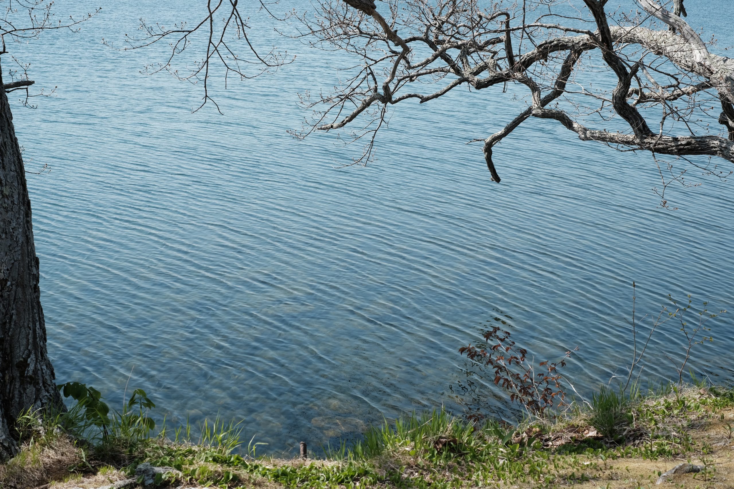
A story that begins at Lake Kussharo
Lake Kussharo is a caldera lake located in eastern Hokkaido.
You can go see it in about 10 minutes on foot from TAPKOP.
It is said to have been formed about 30,000 years ago inside the Kussharo Caldera, the largest caldera in Japan, measuring 26 km from east to west and 20 km from north to south, which includes the outer rim of Mt. Mokoto and Samakkarinupuri.
In the spring, the area is filled with fresh greenery, starting with Ezo mountain cherry, and in the summer, it is crowded with leisure activities such as canoeing and SUP, and in the fall, the lakeside forest turns orange. Whooper swans arrive from Siberia and experience a harsh winter, and the lake eventually becomes covered with ice.
The lakeside has a charm that changes with the seasons, and it is no exaggeration to say that life here is synonymous with Lake Kussharo.
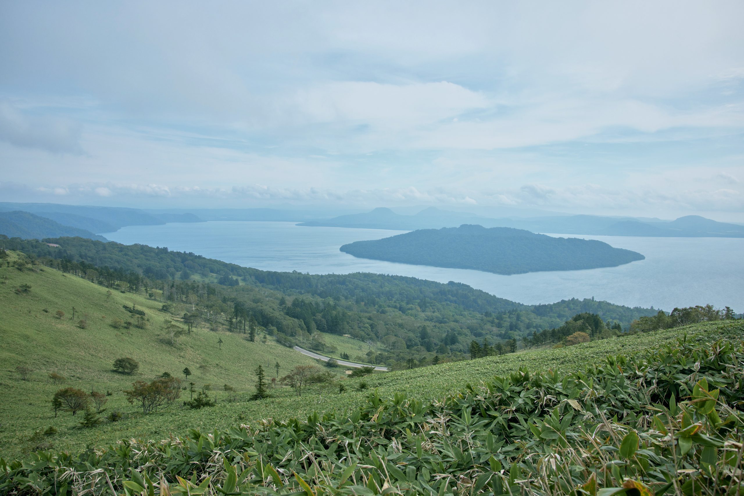
“Bihoro Pass” on the way from Memanbetsu Airport to TAPKOP
If the weather is good, you can see Lake Kussharo and the outer rim of the Kussharo Caldera that surrounds it.
If you have visited several times, you may be able to find “Maruyama” where TAPKOP is located. There are two mountains, Maruyama and Nupriondo, at the end of the Wakoto Peninsula that extends to your right.
We will introduce three representative places around Lake Kussharo.
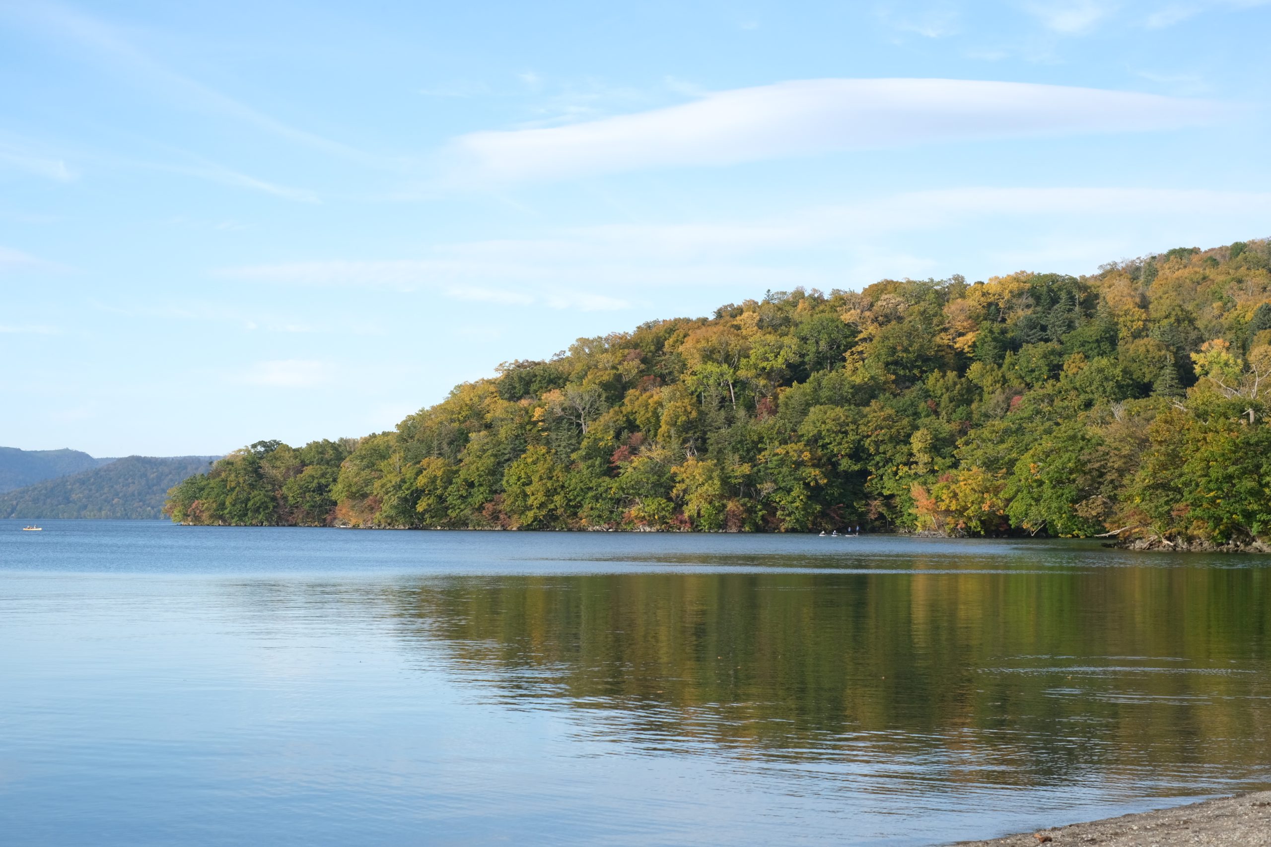
The first is the Wakoto Peninsula, which is also a famous spot for autumn leaves.
Originally, it was a stand-alone volcanic island created by a volcanic eruption after Lake Kussharo was formed.
The geothermal heat is still high, and volcanic smoke can be seen rising from Oyakotsu Jigoku at the tip of the peninsula.
The nature trail that goes around the Wakoto Peninsula can be completed in about an hour, but we also recommend taking a canoe tour around the Wakoto Peninsula from the lake.
You can see Oyakotsu Jigoku up close.
Lake Kussharo has an average depth of 28.4m, which is shallow for a caldera lake, but the deepest part of the former crater on the east coast of the Wakoto Peninsula is said to be 117m.
The second is a sand bath.
As you dig into the sandy beach with a shovel, warm hot spring water gushes out.
If you dig well and set up a chair, you can have your own footbath.
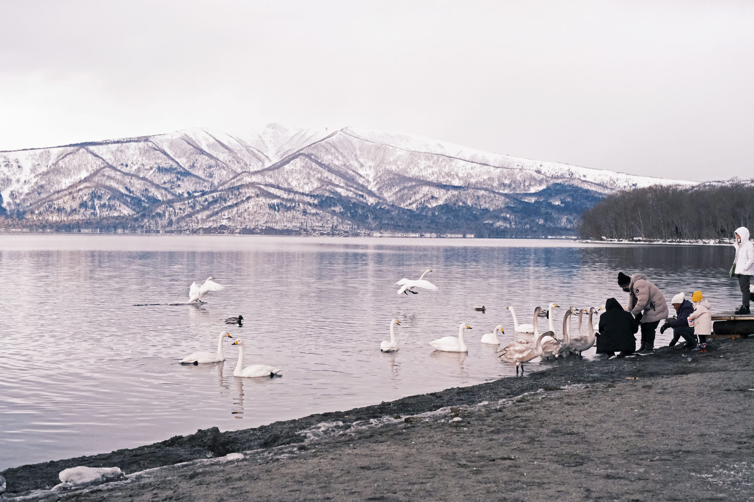
In the summer, it is crowded with people who not only swim in the sea but also take a dip in the lake. Whooper swans can be seen in winter. This is a spot where many people who visit Kussharo stop by for fun.
The last place we would like to introduce is Choko Bridge, the starting point for the Kushiro River.
More than 30 rivers flow into Lake Kussharo, but the only river that flows out is the Kushiro River.
The origin of the word Kussharo is a corruption of the Ainu word Kucharo, which means “flowing mouth.” This word means throat.
Choko Bridge is the starting point of the Kushiro River.
Passing under this bridge and passing through “Kuccharo” is the beginning of the river journey.
TAPKOP is just across the river.
There is an Ainu historical site called “Chashi” near TAPKOP.
Chashi is said to have been used for multiple purposes, such as forts and lookout points, but the ruins of Maruyama 1st and 2nd Chashi (Kuccharoshi Pechasi) near TAPKOP are mainly used for observing salmon trout, which is an important food source. It is said that it was used to mark the territory of the Kussharo Ainu. The presence of historical sites like this in the vicinity shows that people have lived in this area since ancient times.
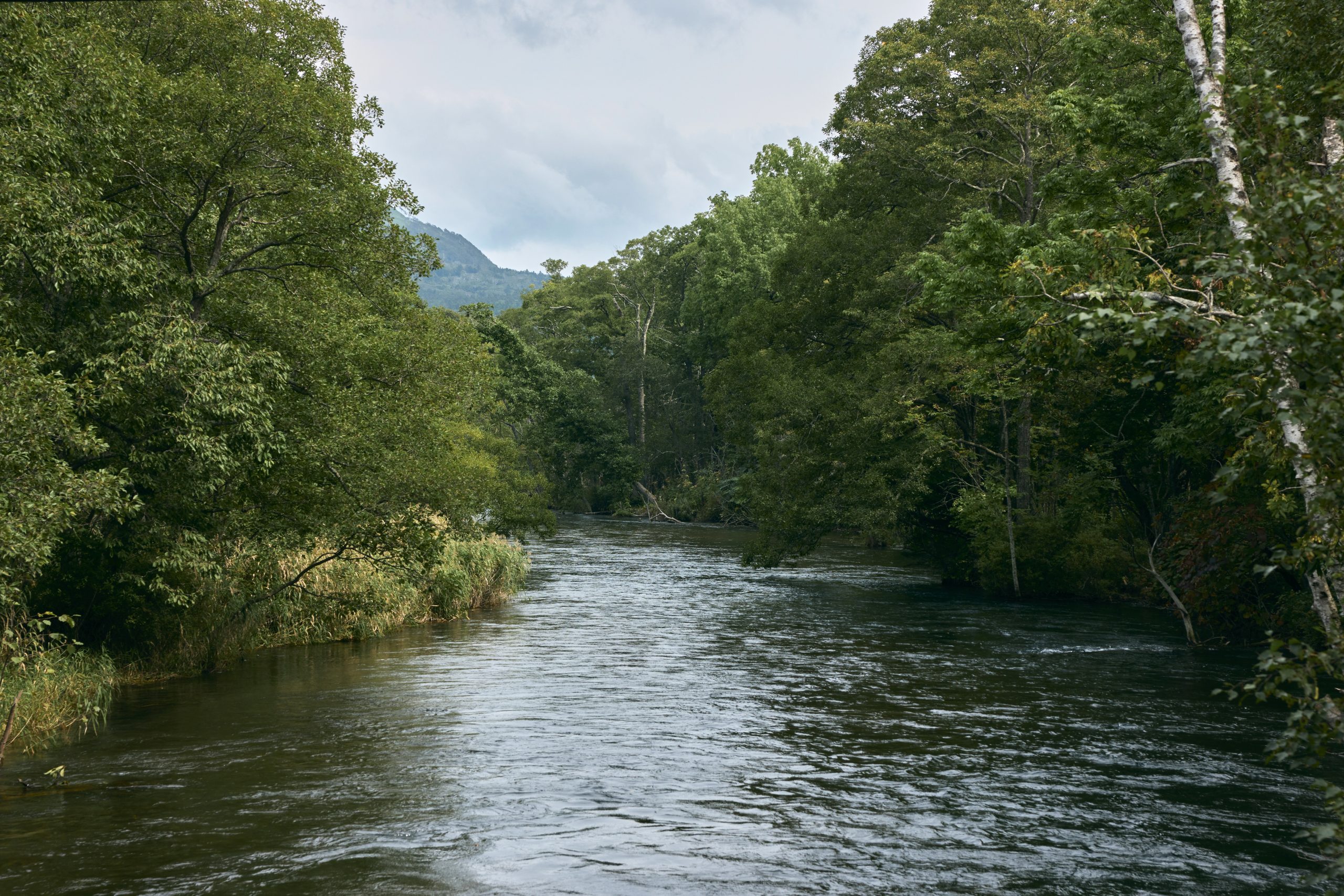
The starting point is 121m above sea level.
The headwaters of the Kushiro River depart from Lake Kussharo in a leisurely flow of 154 km.
It winds its way around, watering the earth and flowing into the Pacific Ocean.
Read the PREVIOUS STORY

